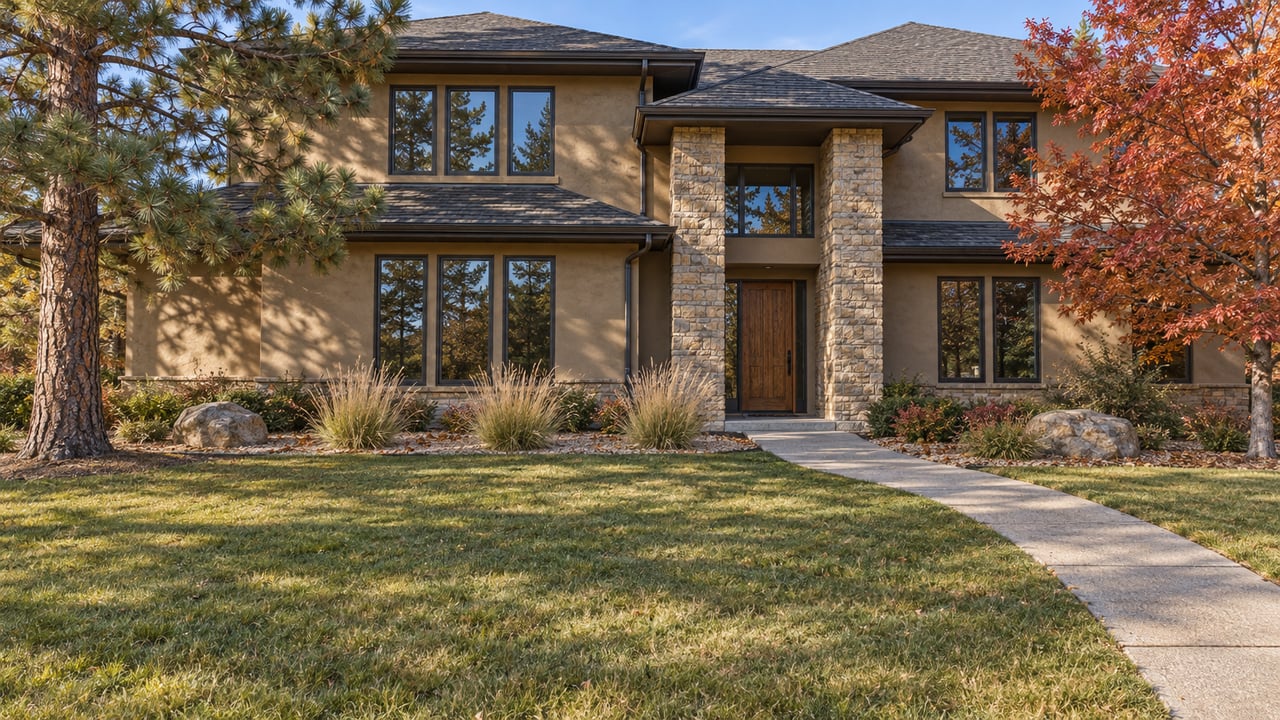
Drive down Cheyenne Mountain Blvd toward the canyon entrance this month and you will find orange barricades where the road narrows past Starsmore Visitor and Nature Center. Out-of-town cars turn around in the gravel pullout. Residents of Broadmoor Resort Community mostly do not slow down. They already know a way in that never needed that road at all.
That gap between the two reactions is worth sitting with, because it points to something the closure has made obvious rather than something the closure created: this neighborhood has been sitting on its own private trail system the whole time, and for a lot of residents the public canyon was never the only option. It was just the habit.
What the City Actually Closed
The city's account is specific. Debris flows and road damage from a June storm hit North Cheyenne Canyon Road and Gold Camp Road, and the closure covers vehicles, not the trail network itself. The park stayed open for hiking and biking on designated trails throughout the closure. What went away was vehicle access, which meant no driving to Helen Hunt Falls and no reaching the Powell parking area that most people use to start the Seven Bridges Trail. Bicycles were also barred from the closed roadways themselves, even though the surrounding trails stayed rideable.
Scott Abbott, the city's Regional Parks, Trails and Open Space Manager, put it plainly when the closure was announced in early June:
"We appreciate the public's patience as crews work to safely assess damage and determine the repairs needed to reopen these roads. The safety of visitors and staff remains our top priority."
No fixed reopening date came with that statement, and the city noted a timeline would follow once damage assessments and repairs were scoped out. The Friends of Cheyenne Cañon volunteer group felt the same disruption from the other side. Their June 18 trail work day on the Mid-Columbine Trail was cancelled outright because of the same storm damage, a small but telling sign of how much cleanup was actually involved.
If you've been waiting for a firm answer on when North Cheyenne Canyon Road reopens to cars, the honest answer as of the city's most recent public update is that no date has been set. That is frustrating if you drive to Helen Hunt Falls out of habit. It is close to irrelevant if you don't.
The Trail System That Was Already Inside the Gates
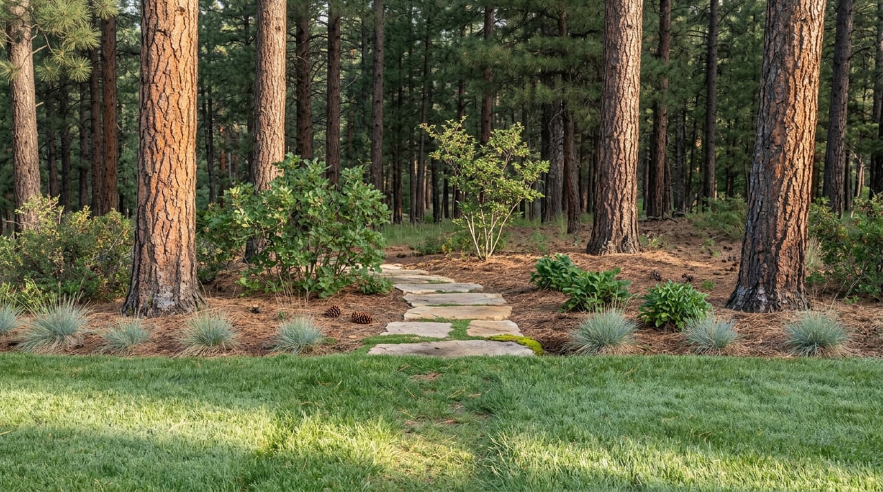
Here is the comparison that reframes the whole situation. North Cheyenne Cañon Park's trail system runs about 26 miles across the canyon, the kind of mileage that rewards a planned outing with a car and a trailhead. Broadmoor Resort Community's own private network, laced through the neighborhood's 573 gated acres at the base of Cheyenne Mountain, covers a more modest four-plus miles of hiking trail.
Four miles isn't a replacement for the canyon's full system, and nobody should pretend otherwise. What it is, though, is a loop that starts at the end of your driveway instead of a ten-minute drive down Cheyenne Mountain Blvd, and one that was never routed through the sections of road that washed out this summer. For the daily walk, the quick morning loop before work, the version of hiking that doesn't need to be a destination, the private trails were never the backup plan. They were always the more convenient one.
This is the part that gets lost in most write-ups of the closure: the story isn't that residents lost access to trails. It's that a chunk of residents rediscovered they had a second, closer system available the entire time, one that runs through their own neighborhood instead of requiring a drive down to Starsmore. For anyone new to the area who has been defaulting to North Cheyenne Cañon out of name recognition alone, this summer is a decent nudge to try the loop that starts closer to home, and save the canyon for the days you actually want the extra miles.
The Post-Hike Stop That Doesn't Require a Car Either
Walk out from most points in Broadmoor Resort Community and you land near Country Club Corners at 112 E Cheyenne Mountain Blvd, a small retail cluster that has quietly become the neighborhood's actual dining strip. It's not a destination anyone drives across town for. It's the place you end up after a morning on the trails, which is a different kind of useful.
The current lineup includes a real range for a strip that size:
- Tokki, an Asian tapas and cocktail bar with a pet-friendly patio, known for shrimp shumai and Korean soft tacos
- Marigold Bistro, leaning American and seafood
- NaRai Siam Cuisine, a Thai spot with vegan and vegetarian options
- Miguel's Mexican Bar & Grill
- PizzAmoré, for straightforward Italian and pizza
None of these are new openings chasing headlines. They're the businesses that have settled into being the walkable option, which is exactly what makes them worth naming instead of generalizing as "local restaurants." If you've hiked the private trails or the still-open sections of the canyon and want food without getting back in the car, this is where that ends.
What the Cycling Calendar Still Delivered
Not everything tied to Cheyenne Mountain got rerouted by the storm. The Broadmoor Cycle to the Summit ran as scheduled on August 8, sending riders up Pikes Peak in a professionally timed climb with age-group categories, an e-bike division, and a shorter Midway Challenge option for riders who wanted the experience without the full 14er. It's a road event, not a trail event, so it never touched the closed sections of North Cheyenne Canyon Road or Gold Camp Road.
For residents who ride, that distinction matters more than it looks. Broadmoor Valley Road, the main north-south bike corridor running through the neighborhood, was never part of the closure zone either. The two disruptions people might mentally lump together, the canyon road washout and the late-summer cycling calendar, turned out to be entirely separate systems. One got rerouted around storm damage. The other never touched it.
What This Actually Tells You About Living Here
None of this changes what makes Broadmoor Resort Community what it is. The mature pine cover, the proximity to the Broadmoor Hotel, the quiet that comes with a gated 573-acre footprint at the base of the mountain, all of that was true in May and it's true now. What the storm closure did was strip away the assumption that the public canyon was the only trail option worth mentioning.
It wasn't. The private network was always the shorter walk. The city's repair timeline for North Cheyenne Canyon Road is out of anyone's hands, but the four-plus miles inside the gates never needed a repair crew to begin with.
If you're weighing what daily life actually looks like in this pocket of southwest Colorado Springs, from the trail network you can reach without a car to the restaurant strip that fills in after, Susan Sedoryk has spent years working this exact stretch of the Pikes Peak region and is glad to talk through what you're seeing on the ground. Let's Connect.